Re: Seg. Especial Chuva, Trovoada, Vento de 16 a ??? Fevereiro de 2008
Ah pois amigo Tornado nos sabemos como são as trovoadas, não são como as superfícies frontais, ja sabemos onde vão bater, podem aparecer a qualquer momento..... num momento pode tar céu limpo no outro ja esta uma grande trovoada,formão-se num abrir e fechar de olhos. Por isso todos com atenção.
]ToRnAdO[;59629 disse:V..R.S.A
Muito vento a soprar forte e cada vez mais...
E parece que ja nao esta muito longe...varios cb's ao ataque
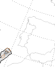
http://www.meteoam.it/satelliti/nefo/nefomedi.gif

Ah pois amigo Tornado nos sabemos como são as trovoadas, não são como as superfícies frontais, ja sabemos onde vão bater, podem aparecer a qualquer momento..... num momento pode tar céu limpo no outro ja esta uma grande trovoada,formão-se num abrir e fechar de olhos. Por isso todos com atenção.
 , vamos lá ver se é desta que dá uma boa rega, as culturas já agradecem.
 possibilidade de formação de tornados, espectáculo, é desta que o Algarve vai voar
  (foi só uma piada
") )
)
 mas tudo pode acontecer...cinco ou seis F0.
")

 :rolleyes:")


