Re: Seg. Especial Chuva, Trovoada, Vento de 16 a ??? Fevereiro de 2008
Mas também vamos ter calma pessoal, que o calmex está esgotado na farmácia

5 razões para estarmos contentes
1º Estofex: o alerta 1 é para amanhã
E o 1 já era...


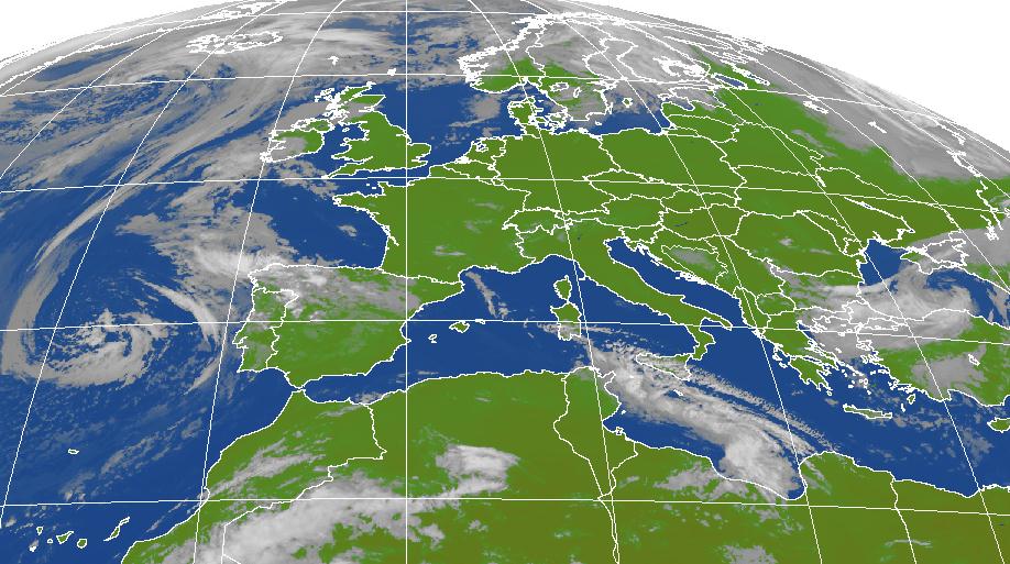
Storm Forecast
Valid: Mon 18 Feb 2008 06:00 to Tue 19 Feb 2008 06:00 UTC
Issued: Sun 17 Feb 2008 19:11
Forecaster: GROENEMEIJER
Monday at 06:00... a broad zone of high pressure over western and central Europe and an outbreak of cold air over eastern Europe leave little opportunity for convective storms. The exceptions are 1) the eastern Mediterranean where the arctic air flows over much warmer water, and 2) where unstable subtropical air is advected northward into western Iberia.
Western Iberia...
A westerly subtropical jet is located south of 35 degrees N. A weak vorticity maximum initially located around 1000 km west of Portugal and moves eastward during the forecast period. As it approaches, the southwesterly flow into the Iberian Peninsula is expected to increase somewhat, as well as forcing for upward motion. 400-800 J/kg of CAPE should generally be available in the air-mass in which scattered thunderstorms are expected in the indicated area. Deep-layer (0-6 km AGL) shear is forecast to be moderate in the south of the area, on the order of 15 m/s. This suggests that a few well-organized multicell storms are possible. The attendant chance of severe weather appears too small to issue a threat level.
Eastern Mediterranean...
On Monday morning convection within the should be deep enough to produce a few lightning strikes. However, stabilization should quickly set in from the west restricting convection to a shallow layer below a subsidence inversion.
... mas há mais...

Extended Forecast
Valid: Tue 19 Feb 2008 06:00 to Wed 20 Feb 2008 06:00 UTC
Issued: Sun 17 Feb 2008 19:49
Forecaster: TUSCHY
Dominant blocking pattern gradually comes to an end as geopotential heights reduce over most parts of west-central Europe.This decaying high pressure area is framed by two longwave-troughs, one established over eastern Euope and the other one west of Ireland. Stable conditions prevail area-wide and the stable stratified atmosphere only gets warmer from east to west.
A flat upper-level trough, crossing the Iberian Peninsula from the WSW spreads northeastwards, yielding a favorable environment for scattered thunderstorms.Dynamic forcing for ascent in a moderately unstable and at most weakly capped airmass appears wholesome for repeated thunderstorm development in the highlighted area.Forcing will be diffuse to pinpoint but two windows for enhanced thunderstorm development exist, one between 06Z to about 18Z over Portugal and west / southwest Spain and a second one between 03Z onwards just offshore NW Portugal / NW Spain.
Forecast soundings hint on steep low-level lapse rates during the peak daytime heating over Portugal with robust LL instability release. As shear will stay weak no organized thunderstorm activity is anticipated but a few sub-severe hail reports are not out of the question.
We extended the thunderstorm area well towards the north as a warm and humid airmass spreads northwards.
") http://www.meteopt.com/forum/seguimento-meteorologico/seguimento-incendios-2008-a-1917.html
http://www.meteopt.com/forum/seguimento-meteorologico/seguimento-incendios-2008-a-1917.html o que nos vale é que se estão a formar algumas celulas adjacentes


 mais barato e mais forte.