Geiras
Cumulonimbus

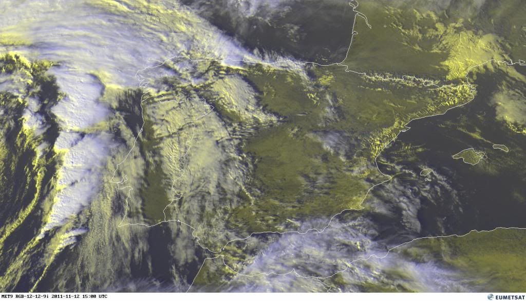
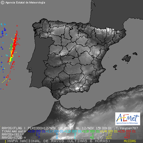
Level 1 and 2 were issued for the Atlantic region near the Portuguese coast mainly for severe convective wind gusts and tornadoes.
A low pressure area with an unstable airmass west of the Iberian peninsula moves to the north. Its cold front may come close to the Portuguese coast. Strong flow is predicted with 1-3 km mean speeds of 25 m/s in a large area, up to 40 m/s over sea. Storm propagation and shear vector will be mostly along the orientation of the front, which enhances a linear convective mode with several bowing segments with severe wind gusts and embedded or sometimes isolated supercells, as a result of strong deep layer shear and storm-relative helicity values over 300 m2/s2. Low level shear in excess of 15 m/s 0-1 km is supportive of tornadoes. At night the front is predicted to drag along the coast with locally large precipitation sums.


 aqui para o interior centro e norte?

 ???
???

