Cesar
Nimbostratus
Este vento que se faz sentir é quente.
Por este andar chuva lá só para o fim do ano.
Por este andar chuva lá só para o fim do ano.
Sim, este padrão está muito estável, não tem havido entradas do Atlântico fortes o suficiente para empurrar a massa de ar sahariano de volta para sudeste, pelo menos aqui no sul, só na terça e quarta é que se afastou um pouco mas como esteve nortada durante a tarde nem se notou o arrefecimento a 850hPa aqui em Albufeira.Este vento que se faz sentir é quente.
Por este andar chuva lá só para o fim do ano.
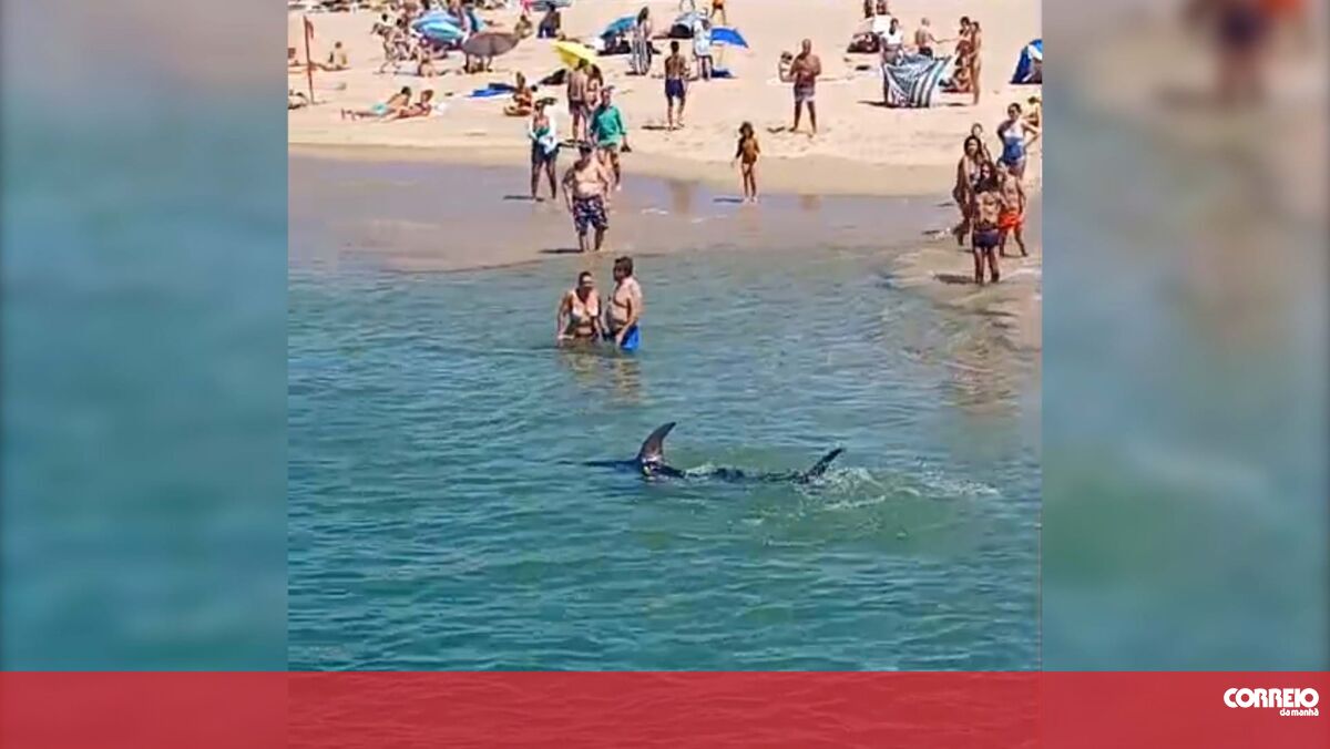
 www.cmjornal.pt

Quando a sorte é pouca. Tromba d'água, supostamente.
 :rolleyes:")
ECM a colocar uma pequena bolsa de ar frio para o fim do mês, a ver se é um sinal de inicio do outono metereológico mais ativo.GFS a prometer início tórrido de Setembro, logo seguido de trovoadas (previsão > 300 horas)
300h..................ás vezes nem a 72h acertam.GFS a prometer início tórrido de Setembro, logo seguido de trovoadas (previsão > 300 horas)
ECM a colocar uma pequena bolsa de ar frio para o fim do mês, a ver se é um sinal de inicio do outono metereológico mais ativo.
300h..................ás vezes nem a 72h acertam.
 pois, eu nem me atrevo a pôr esta "previsão" no tópico das previsões a médio prazo.


Through Wednesday, October 16, 2024, the National Weather Service (NWS) National Centers for Environmental Prediction's (NCEP's) Ocean Prediction Center (OPC), the National Hurricane Center's Tropical Analysis and Forecast Branch (TAFB), and NWS Pacific Region (PR) will be soliciting comments on a proposal to replace the imperial unit "feet" with the metric unit "meter" when providing wave heights in NWS National Marine Center high seas products.


