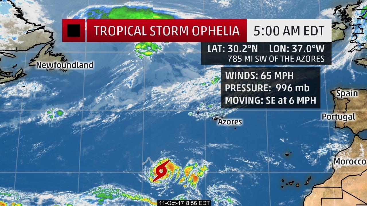
Aviso 10. Intensidade atual  60 nós (a 4 nós - 7.4 km/h - de cat. 1):
Tudo na mesma. Intensidade máxima prevista está nos 70 nós, atingidos amanhã. Depois manterá a mesma.
 60 nós (a 4 nós - 7.4 km/h - de cat. 1):
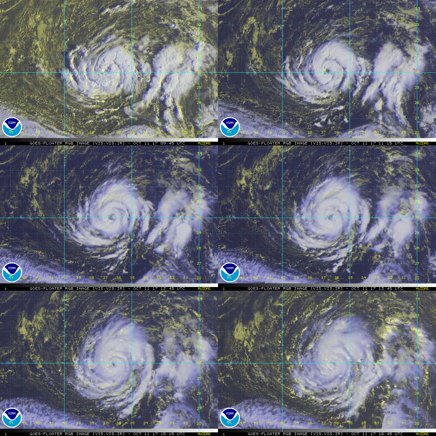
If I only had conventional satellite imagery, I would definitely estimate that Ophelia was a hurricane. The cyclone has a ragged eye surrounded by deep convection and cyclonically curved bands. Furthermore, Dvorak intensity estimates, both subjective and objective, from all agencies are T4.0 plus.
However, several ASCAT passes during the past day or so indicate that the winds have been lower than the winds one could assign the cyclone by using Dvorak.
Once again this morning, a pair of ASCAT passes showed winds of less than 45 kt, but I am assuming that the ASCAT can not resolve the sharp wind gradient typically associated with an eyewall, and earlier SSMIS data indicated that one is present. Since we do not have a hurricane hunter plane to give us exact measurements, we need to compromise between the very valuable satellite-based estimates, and the initial intensity is set at 60 kt in this advisory.
Tudo na mesma. Intensidade máxima prevista está nos 70 nós, atingidos amanhã. Depois manterá a mesma.
Última edição:


